Türkçe

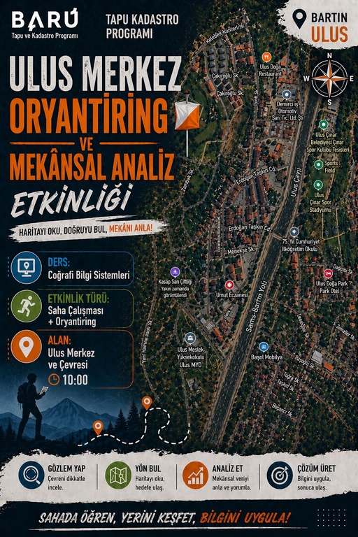
Interdisciplinary Field Training at Ulus Vocational School: Orienteering and Spatial Analysis Event Successfully Completed
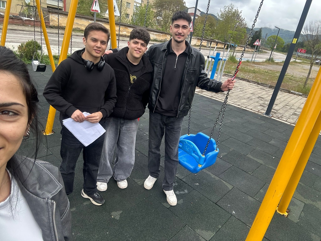
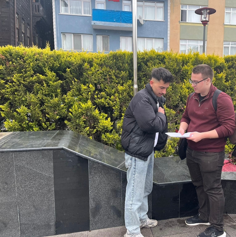
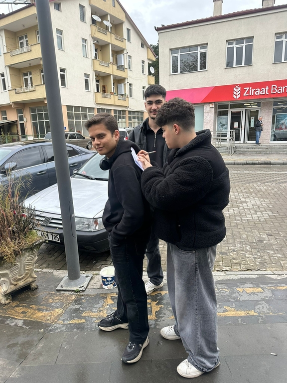
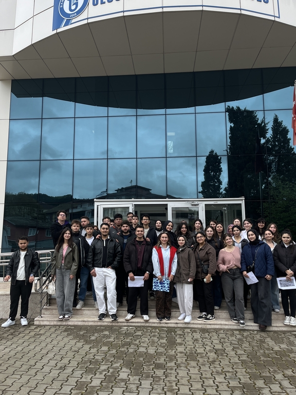
Students from the Land Registry and Cadastre Program and the Smart Infrastructure Technician Program at Bartın University Ulus Vocational School came together for the “Orienteering and Spatial Analysis Event,” which places applied learning at its core.
The event, conducted on May 5, 2026, within the scope of the Geographic Information Systems (GIS) course under the supervision of Lecturer Dr. Nurçin Seymen Aksu and integrated with the “Computer-Aided Technical Drawing” course of the Smart Infrastructure Technician Program, was carried out through field applications in the Ulus district center and its surroundings.
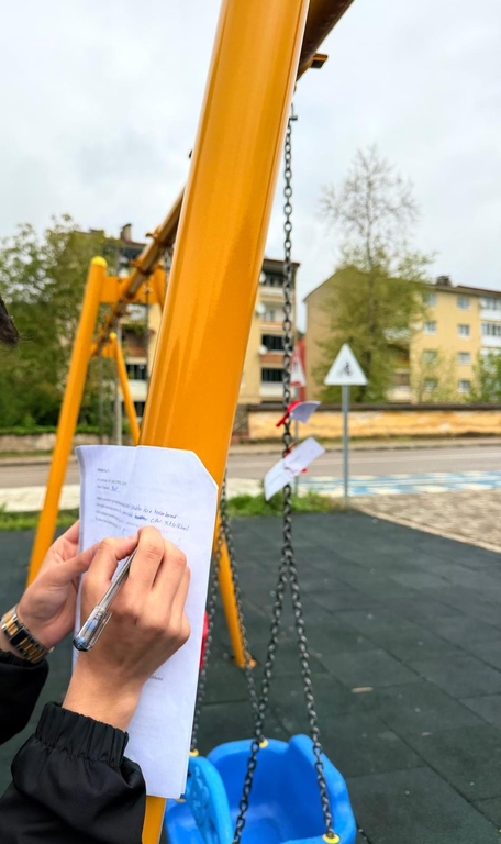
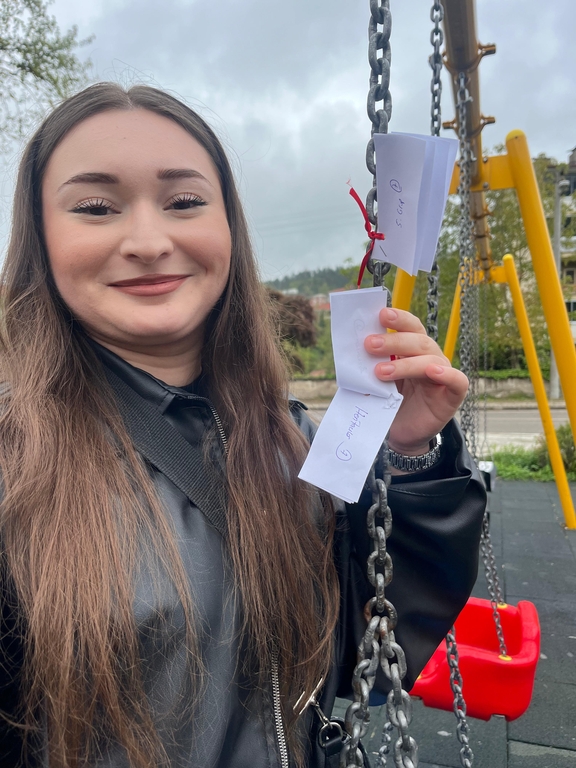
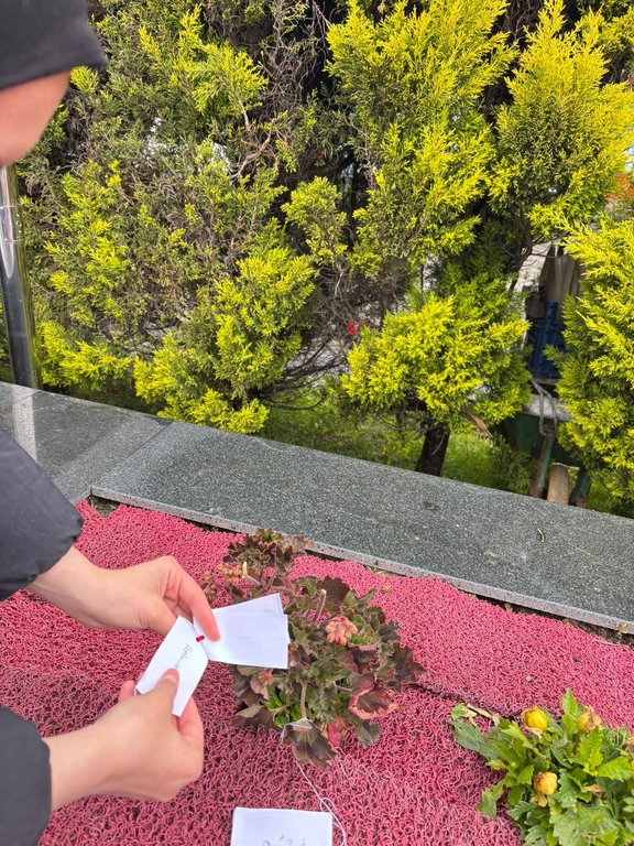
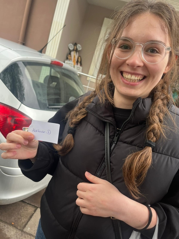
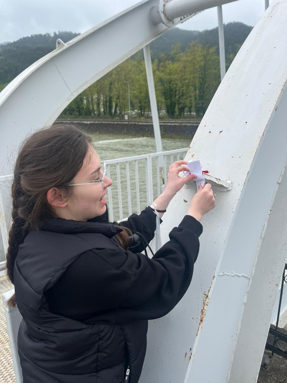
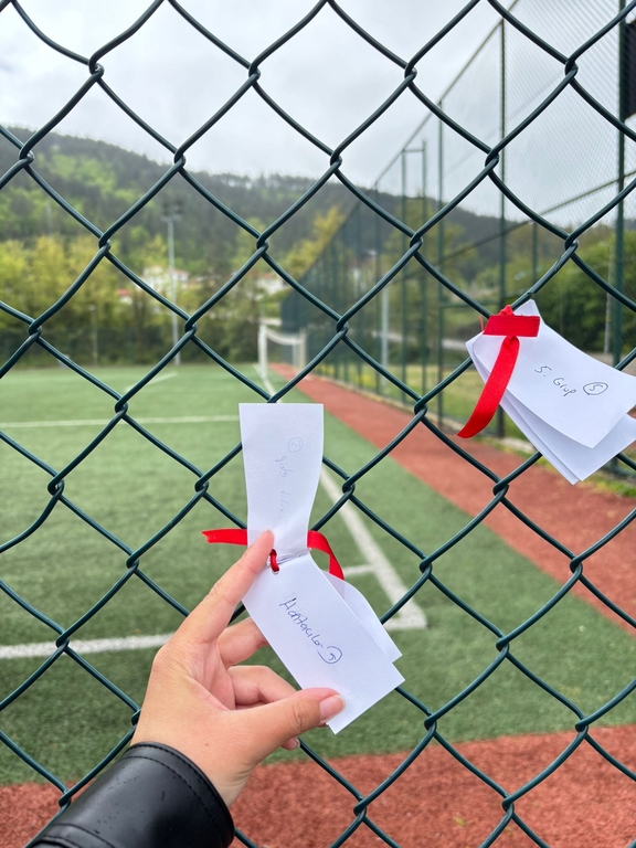
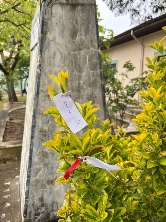
During the event, students directly experienced processes such as navigation using coordinate systems, map reading, field data collection, and performing spatial analysis based on the collected data. Designed with an interdisciplinary approach, the program enabled students from both programs to collaborate, enhancing their technical and analytical skills.
Guided by the principle “Learn in the field, explore your location, apply your knowledge,” students developed planning and infrastructure improvement proposals based on the data they gathered, thereby strengthening their professional perspectives. The event concluded with students successfully reaching designated targets and presenting their spatial analysis reports.
Assoc. Prof. Dr. Şükrü Teoman Güner, Director of Ulus Vocational School, stated: “Reinforcing theoretical knowledge through field application is extremely valuable in terms of developing our students’ professional competencies.”
The event not only improved students’ technical knowledge but also contributed to their teamwork, problem-solving, and analytical thinking skills. It was emphasized that such field-oriented practices at Ulus Vocational School will continue to play a significant role in students’ professional development.
Fotoğraflar